

10 Washington Park Hikes for Every Age, Stage & Ability
With 410 acres of lush forest, sweeping city vistas, and 15+ miles of connected paths, Washington Park offers something for everyone—whether you're pushing a stroller, using a power wheelchair, or lacing up for a 7-mile sweat session. Here’s your guide to ten unique Washington Park trail routes, organized by distance, surface type, and overall vibe.
Paved & Mobility-Friendly Routes
Best for: Wheelchairs and mobility devices, families with strollers, and anyone seeking a flat, scenic stroll
Accessibility tip: All TriMet MAX trains and buses to the Park meet ADA standards. Additionally, the Washington Park Free Shuttle is equipped with a powerlift and dedicated space for wheelchairs.
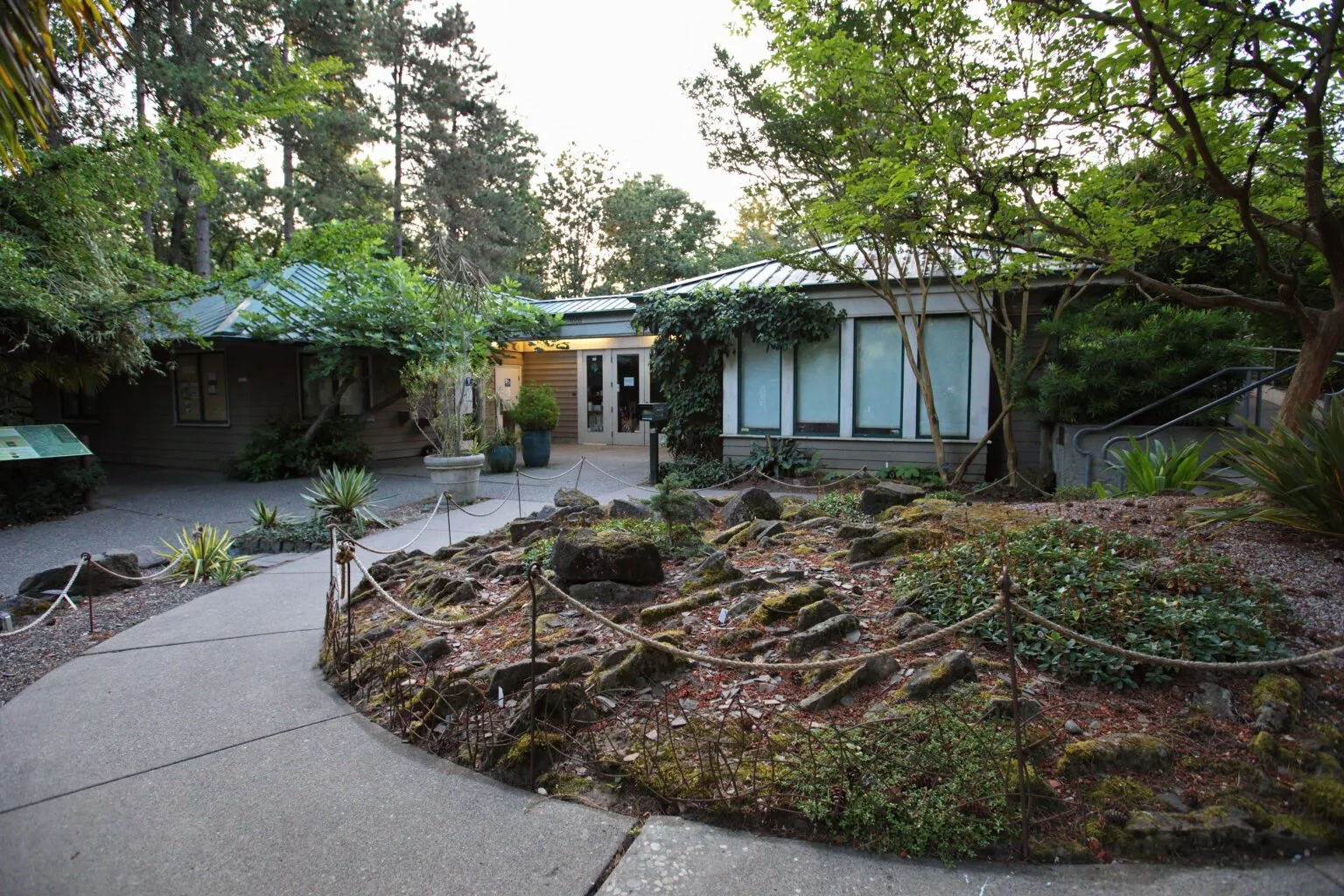
1. Visitor Center Loop
Distance: 0.1-mile loop
Surface: Paved, flat
Vibe: A gentle path through shaded beech and oak collections and an alpine garden directly behind the Hoyt Arboretum Visitor Center
Access: The Free Shuttle drops visitors off at the trailhead. The shuttle and shuttle stop are ADA accessible.
2. Overlook Trail
Distance: 0.5-miles one-way
Surface: Fully paved
Vibe: A smooth, gentle paved walk that winds above the Hoyt Arboretum Visitor Center and through a mix of conifer and deciduous trees. It offers an easy way to experience a deep forest canopy and peaceful valley views from above, all without steep climbing or dirt paths. There is also an adjacent gravel-surface viewpoint at the summit of the Overlook Trail featuring a wonderful view of Mount St. Helens and Mount Rainier on clear days.
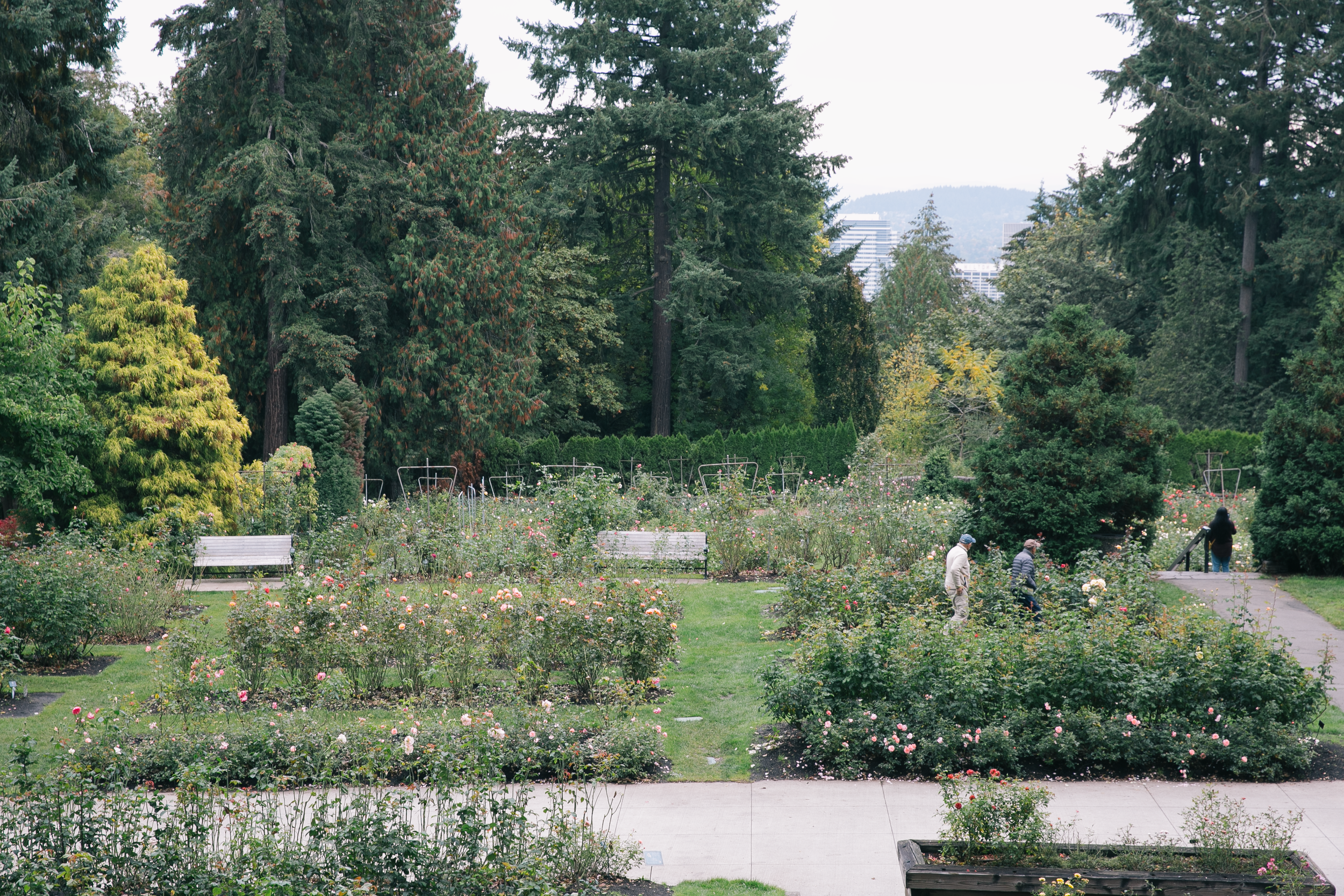
3. International Rose Test Garden Promenades
Distance: 0.25 to 0.5 miles
Surface: Brick and paved concrete
Vibe: Wide, smooth paths winding through 10,000 rose bushes with views of Mount Hood
Access: Upper terraces feature paved ramps connecting levels, though some lower garden side-paths feature minor gradients
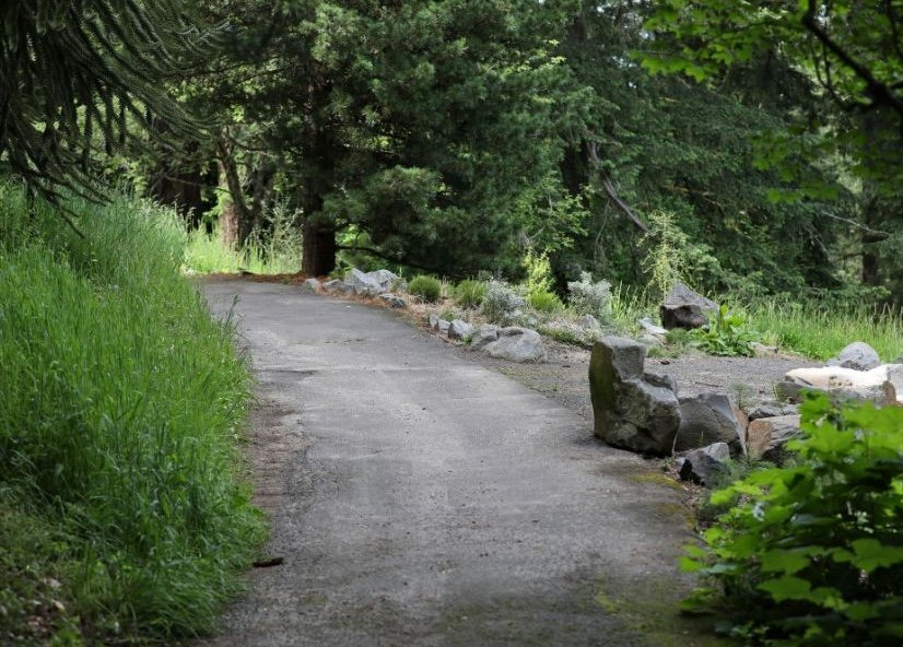
4. Bristlecone Pine Trail
Distance: 0.42 miles paved (0.79 miles total)
Surface: Paved gentle grade with a portion of packed dirt
Vibe: A partially paved out-and-back trail featuring trees and plants arranged by geographic region, with a stone circle viewpoint along the route. The paved segment is accessible to some mobility devices with areas of uneven grade from root intrusion and has a generally gentle grade. The unpaved portion includes steeper grades, and connects with White Pine Trail near a wooden footbridge.
Beginner & Family-Friendly Hikes

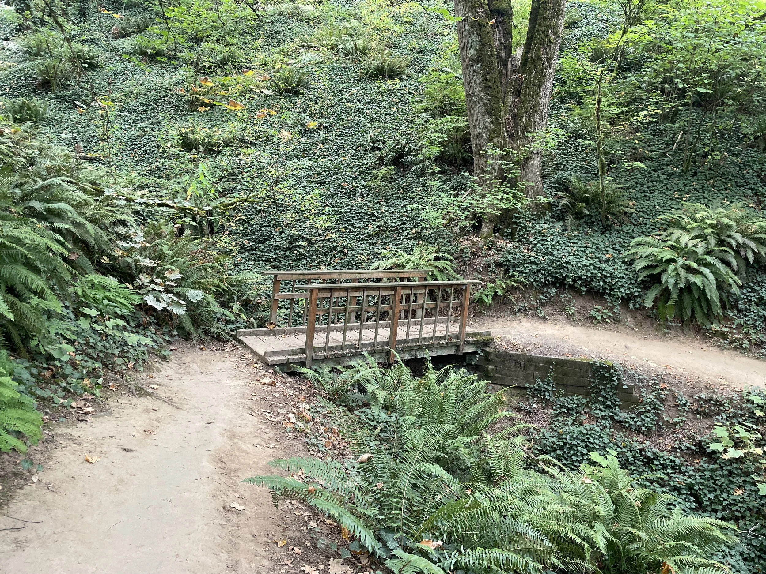
Best for: Casual walkers, kids, and short afternoon strolls
5. Spruce Trail & Fir Trail Loop
Distance: ~1 mile
Elevation Gain: Minimal (~100 ft)
Surface: Packed dirt and gravel
Vibe: Located in the heart of Hoyt Arboretum, this short loop immerses you in massive evergreen canopies without taxing your endurance. It’s well-marked, shaded, and soft on the knees.
6. MAC Trail to Rose Garden
Distance: 1.2 miles round-trip
Elevation Gain: Gentle slope
Surface: Soft-packed dirt
Vibe: A peaceful, easy walk connecting the upper park forest down toward the main garden plazas. It features gentle grades and wide pathways.
Moderate Traverses
Best for: Active hikers wanting a solid workout, scenic variety, and a taste of Portland’s signature trail system
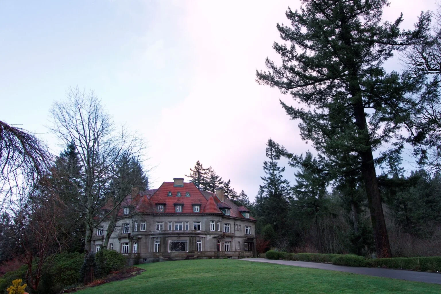
7. Hoyt Arboretum to Pittock Mansion
Distance: ~3.5 to 4 miles one-way
Elevation Gain: ~500–600 ft
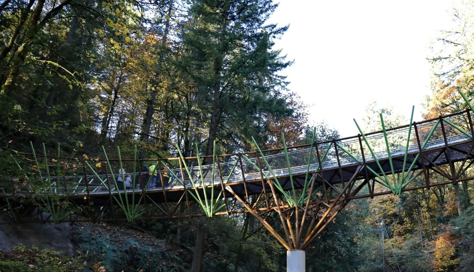
Surface: Forest dirt, exposed roots, wooden footbridges
Vibe: Pick up the famous Wildwood Trail near the Washington Park MAX Station or Hoyt Arboretum Visitor Center. You’ll trek past giant sequoias, cross wooden footbridges over creeks, and climb up toward the historic Pittock Mansion grounds for one of the best views of the Portland skyline.
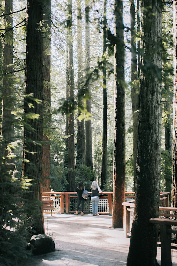
8. Redwood Deck & Trail Loop
Distance: ~1.5 miles
Elevation Gain: ~200 ft (includes some switchbacks and stairs)
Surface: Dirt, wooden stairs, boardwalks
Vibe: A moderate climb down into a quiet ravine tucked away in the arboretum, leading directly to a massive wooden observation deck built beneath towering Coastal Redwoods
Advanced & Full-Day Urban Adventures
Best for: Experienced hikers, endurance trainers, and urban explorers
9. 4T Urban Adventure Trail
Distance: 4.5-mile hike (plus transit connections)
Elevation Gain: ~800+ ft
Terrain: Steep forest trails, paved urban sidewalks, stairs
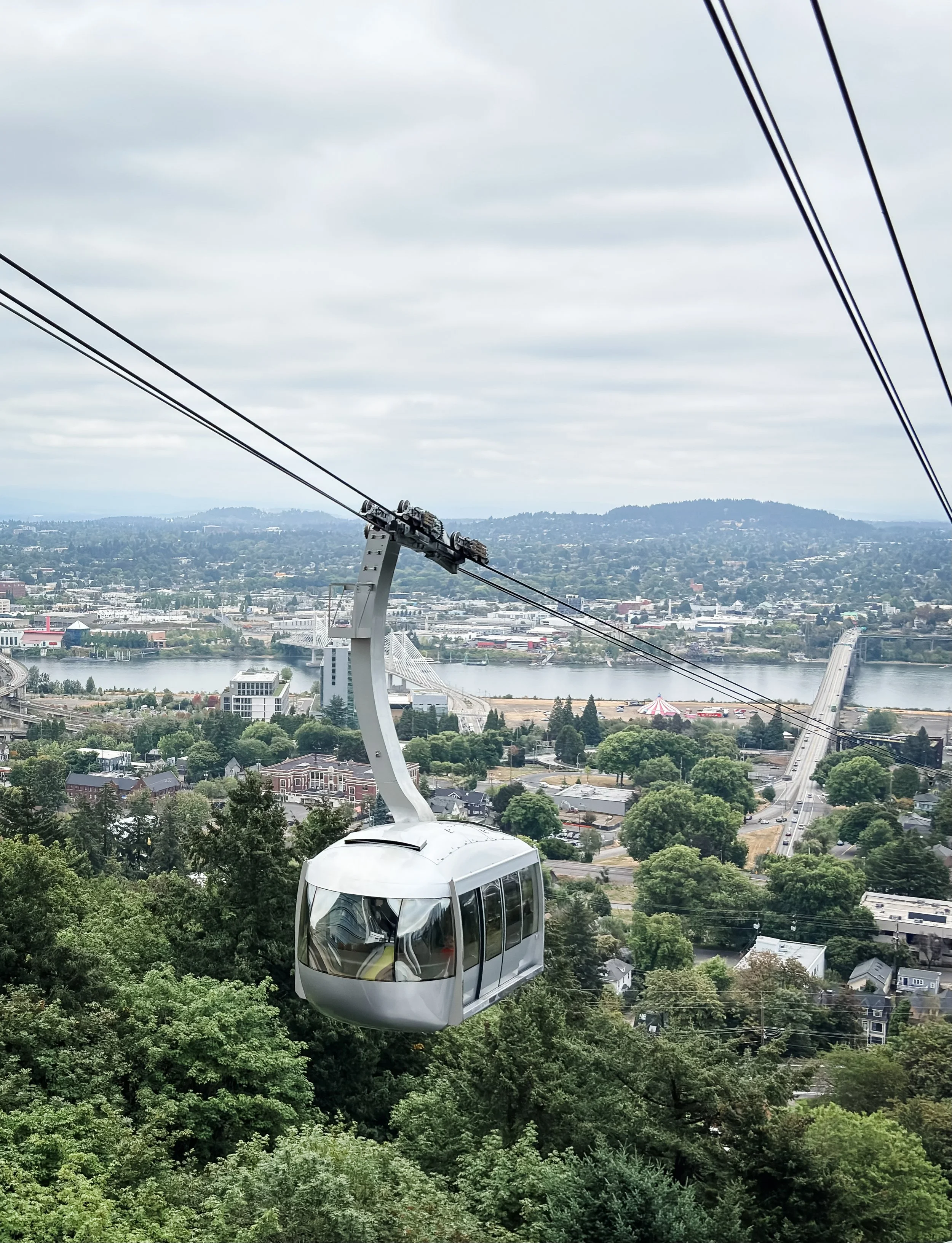
The Vibe: The ultimate Portland trek! You'll use four forms of transit—Trail, Train, Tram, and Trolley. Start at the Washington Park MAX station, climb the steep forest path up to Council Crest Park (the highest point in Portland at 1,073 ft), hike down to OHSU, ride the Aerial Tram down the mountain, and streetcar back downtown.
10. 30-Mile Wildwood Challenge
Distance: 30 miles
Elevation Gain: 1,000+ ft total continuous rolling elevation
The Vibe: The Wildwood Trail stretches 30 continuous miles through Washington Park and Forest Park. Advanced hikers can start at the southern trailhead near the Vietnam Veterans of Oregon Memorial and power-hike north as deep into the urban wilderness as their legs will carry them before catching a bus back.
Trail Etiquette & Prep
Know the Markers: The Wildwood Trail is marked with blue diamonds painted on trees every 1/4 mile so you don’t lose your way.
Footwear: While paved routes are smooth, packed-dirt forest trails get slippery and muddy after rain. Wear sturdy shoes with good tread.
Pack Water: Hydration stations are located at the Oregon Zoo (during Zoo hours), Hoyt Arboretum Visitor Center, and Rose Garden Store.
Share the Trail: The trails throughout Washington Park are used by folks of all ages and mobilities, so make sure you make room for everyone to pass as needed.
Leave no Trace: Please be respectful of the park and pack out anything you pack in, whether you’re picking up after your dog or having a snack along the trails.
